
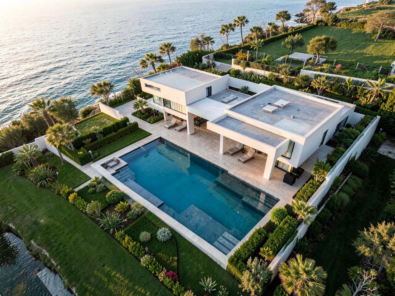
PROPERTY MEDIA
Professional aerial and property marketing content.
- Aerial photography
- 4K aerial video
- FPV fly-throughs
- Property photography
- Reels
- Estate-agent packages
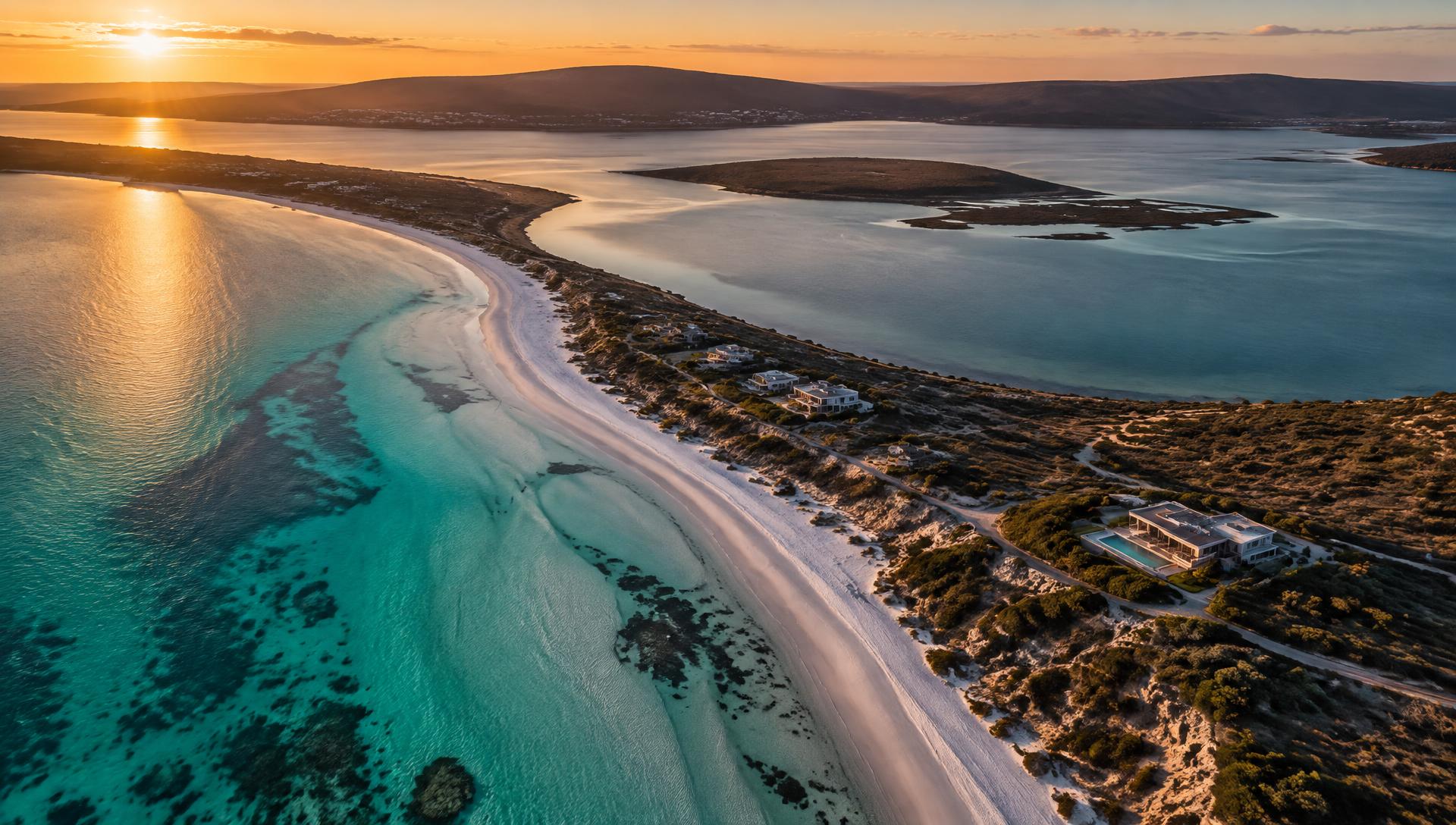
Aerial Data • Visuals • FPV • Inspections • Mapping
Professional aerial data, visual media, FPV, thermal inspections and mapping across the Western Cape.
LICENSED, INSURED & COMPLIANT
Eagle Eyes Visuals operates in accordance with South African Civil Aviation Authority (SACAA) regulations. Flights are planned and carried out by a licensed remote pilot, with safety, airspace and operational requirements treated as standard practice — not optional extras.
Remote Pilot Certificate
RPC 0275514873
UAS Operator Certificate
UASOC G1588D
Operations follow applicable South African aviation regulations and operational requirements.
Work is carried out by a qualified, licensed RPA remote pilot.
Every job is checked for controlled airspace, restrictions and safety considerations before flight.
Professional liability and risk management built into every flight.
Langebaan and the wider West Coast sit close to controlled and restricted airspace. Before every job we assess the airspace over your site, confirm what is permitted and arrange any coordination that is needed.
Loading chart… Airspace overlay shows control zones, restricted and danger areas around the West Coast. For orientation only — always refer to current official aeronautical information before flight.
Langebaan sits alongside active military and general aviation airspace, including AFB Langebaanweg. Every flight plan is checked against current airspace before we take off.
Airfields, harbours, nature reserves and other restricted areas are identified during planning. Where approval or coordination is required, we arrange it before the flight date.
Operations are conducted in line with applicable South African aviation regulations. If airspace, weather or safety prevents a lawful flight, we reschedule at no extra charge.
Control Zone. The controlled airspace around an airport. Entry and flight inside a CTR usually requires permission from air traffic control and is shown on the chart so we can plan a safe, legal route around or through it.
Controlled Zone. A volume of airspace where flights are managed or restricted for safety, security or operational reasons. We check every CTZ near your site before committing to a flight time.
Flying the West Coast and the wider Western Cape.
Orthomosaics, 3D, thermal and measurable outputs.
Every job is scoped individually and quoted in writing.
What we do
Six core capabilities, from property marketing content through to survey-grade aerial data and thermal inspection.
Professional aerial and property marketing content.
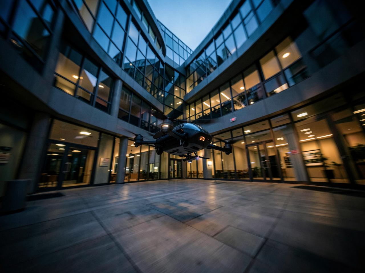
Cinematic FPV and conventional aerial content for businesses.
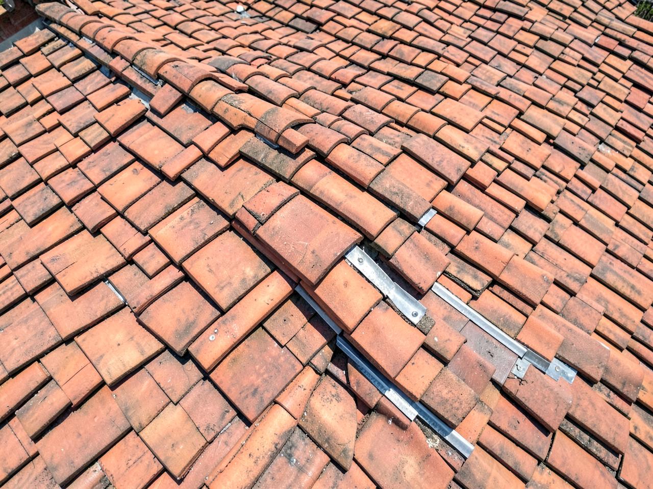
Professional aerial visual and thermal inspection services.
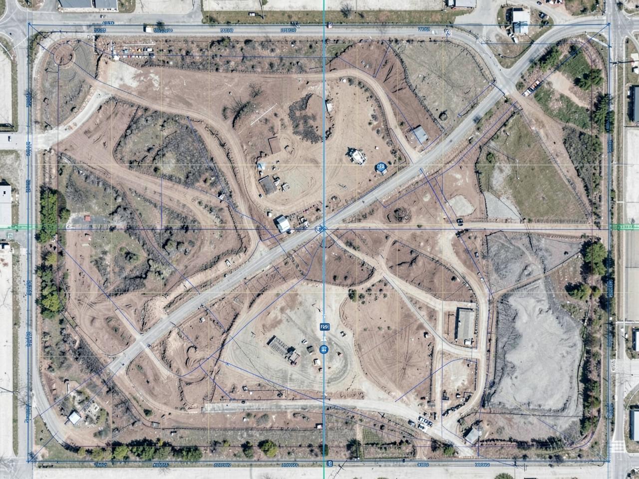
Professional aerial data capture and mapping.
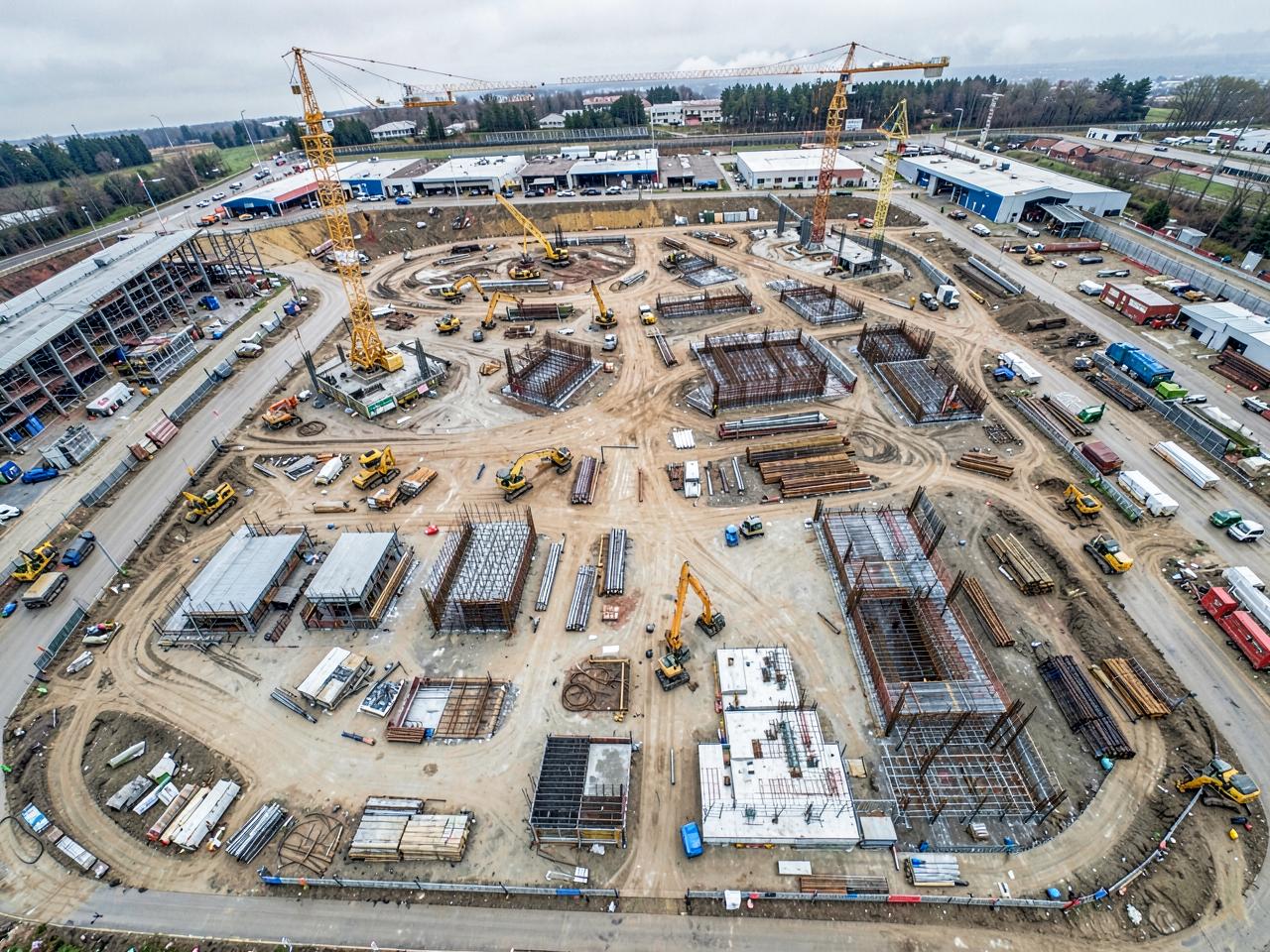
Aerial documentation and monitoring.
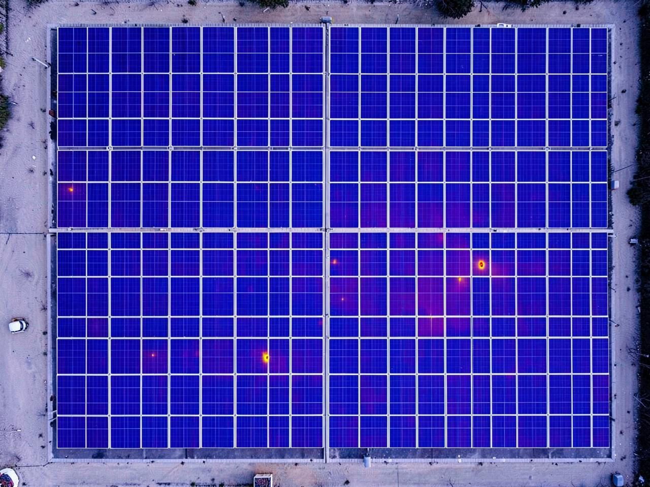
Thermal and visual inspection of solar installations.
How it works
A clear process from first click to delivered files.
Pick the outcome you need and the package that fits.
Location, date and time online, with travel shown upfront.
We fly weather-permitting and keep you posted.
Edited media, reports or data via a secure link.
Service area
Eagle Eyes Visuals is based in Langebaan and flies throughout the West Coast and greater Western Cape. Travel inside Langebaan is included; everywhere else is charged per travel zone and shown to you before you confirm a booking.
FAQ
Request a quote online in a few minutes, or contact us if your project needs a tailored scope.